Ruta I.2 Per l’antic terme medieval de Manresa
Difficulty: 2
Distance: 15.15 km
Elevation gain: 315
Elevation loss: 315
Starting point: Castell i santuari de Santa Maria de Castellet
Finishing point: Castell i santuari de Santa Maria de Castellet
Services:
Wikiloc: https://ca.wikiloc.com/rutes-btt/ruta-i-2-per-lantic-terme-medieval-de-manresa-94710448
Points of interest:
Parking / How to get there:
More information:
Route 1.2 – 15.16km, 319m
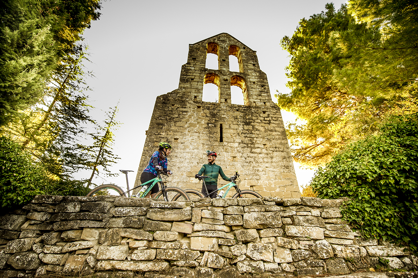
Following the Cardener river, close to the confluence with the Llobregat, we can enjoy remarkable monuments: Sant Pere de Vallhonesta and its slender belfry, and the 10th century tower, the whole of Castellet, the Roman construction of the Tower of the Breny and the town and tomb of Boades.
Route linked to the Romanesque Routes of Bages.