Ruta del romànic VII.2 Les Valls del Montcau
Difficulty: 3
Distance: 34,37 km
Elevation gain: 1201
Elevation loss: 1201
Starting point: Mura
Finishing point: Mura
Services:
Wikiloc: https://ca.wikiloc.com/rutes-btt/ruta-vii-2-les-valls-del-montcau-99068590
Points of interest:
Parking / How to get there:
More information:
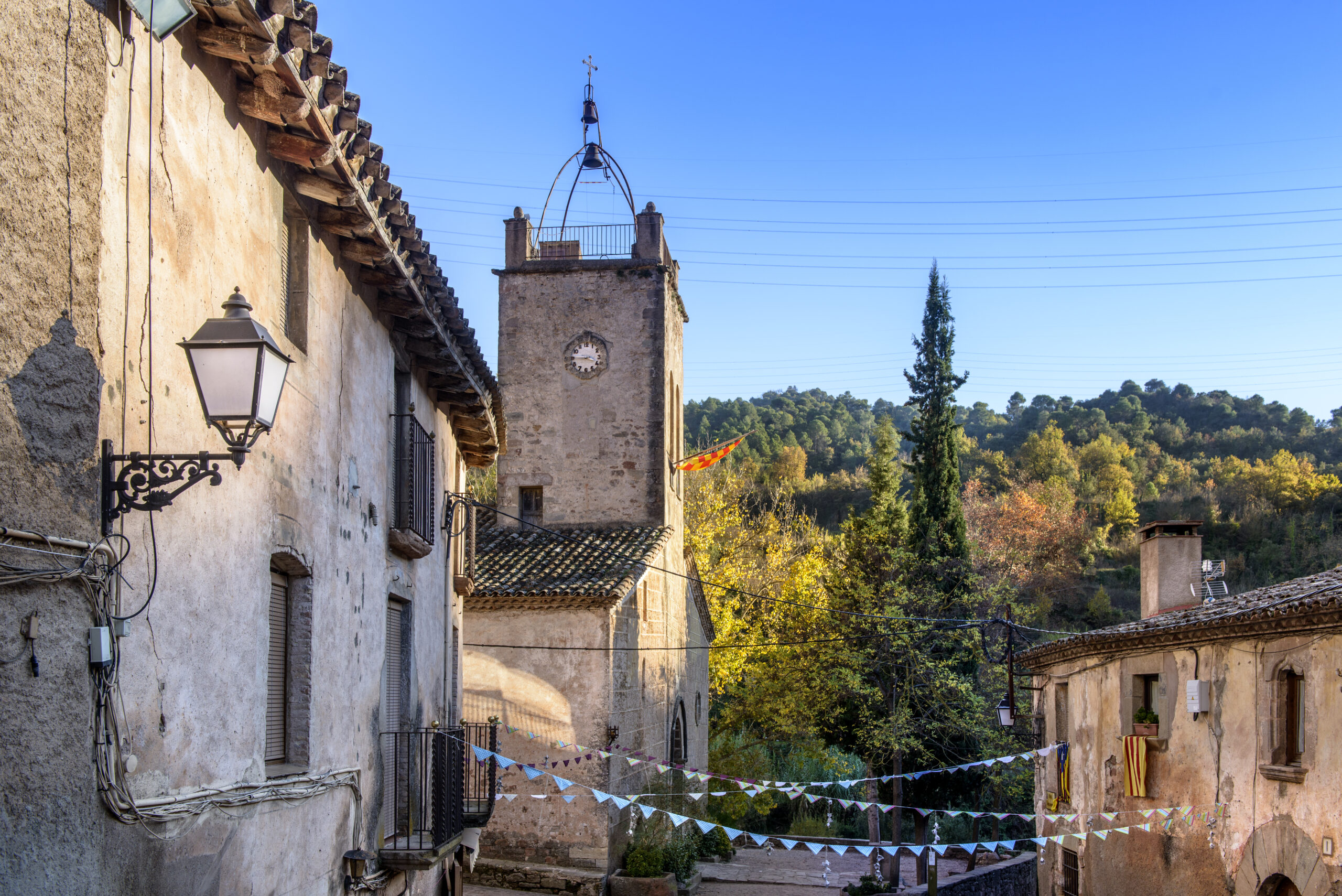
These routes take place in a privileged setting: the Sant Llorenç del Munt i l’Obac Natural Park. The nuclei of Mura, Talamanca and Rocafort, of medieval character, form a unique historical heritage.
Route 7.2 – 34km – 905.7m
This route, very rich in content, brings us closer to the church of Sant Martí de Mura, which allows a didactic way to observe the evolution of a building that has survived for 1,000 years. In this building, the various construction phases can be seen. The tympanum, dedicated to the Virgin Mary, is an exceptional work.
Route linked to the Romanesque Routes of Bages.