Ruta del romànic. VII. 1 Les valls del Montcau
Difficulty: 3
Distance: 30,01 km
Elevation gain: 791
Elevation loss: 791
Starting point: Santa Maria de Rocafort
Finishing point: Santa Maria de Rocafort
Services:
Wikiloc: https://ca.wikiloc.com/rutes-btt/ruta-vii-1-les-valls-del-montcau-94711952
Points of interest:
Parking / How to get there:
More information:
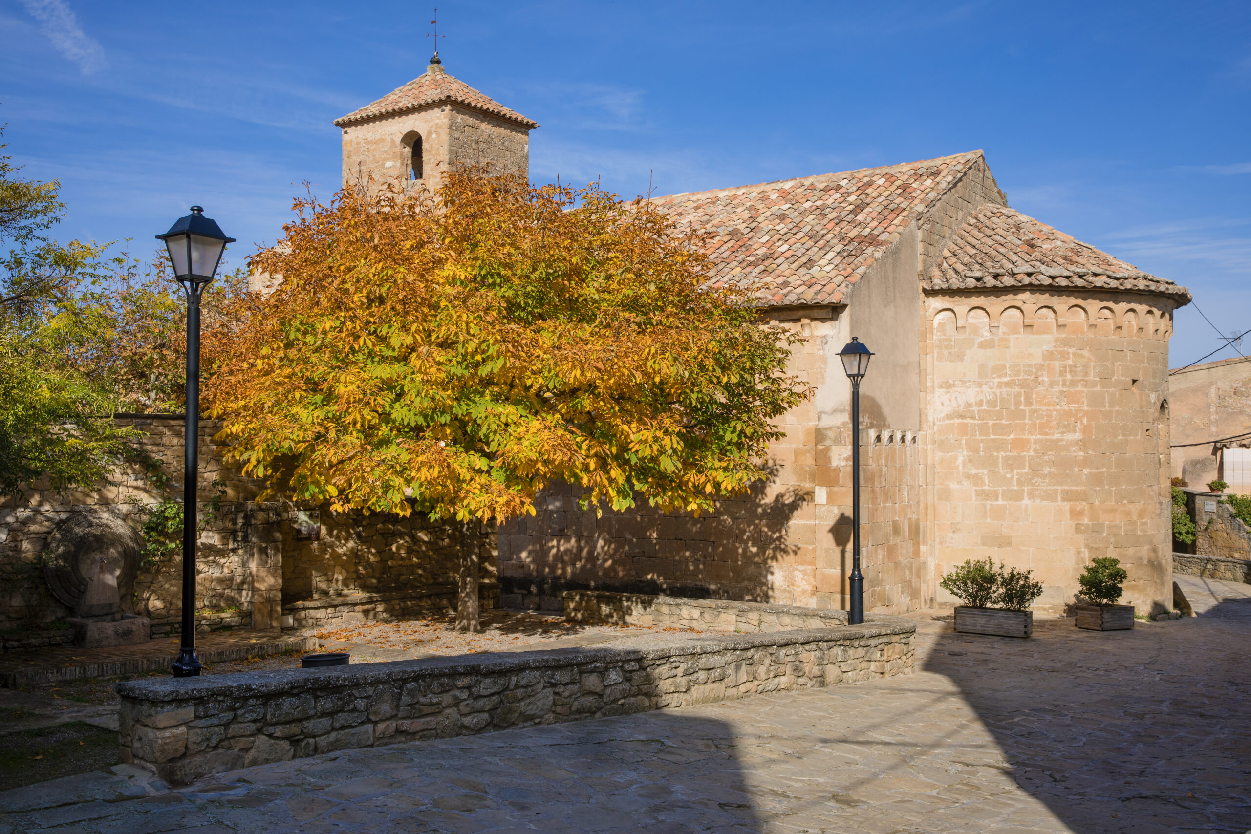
These routes take place in a privileged setting: the Sant Llorenç del Munt i l’Obac Natural Park. The nuclei of Mura, Talamanca and Rocafort, of medieval character, form a unique historical heritage.
Route 7.1 – 30km – 750m
With outstanding churches such as Santa Maria de Talamanca and Santa Maria de Rocafort, inside which are preserved sculpted sarcophagi from the Gothic period, with the sculpture of a knight on top. Sant Esteve de Vilarrasa gives its name to the Sant Esteve stream, which is nearby.
Route linked to the Romanesque Routes of Bages.