La Séquia en BTT: Itinerari mitjà
Difficulty: 1
Distance: 28,8 km
Elevation gain: 452
Elevation loss: 452
Starting point: Qualsevol (ruta circular)
Finishing point: Qualsevol (ruta circular)
Services:
Wikiloc: https://ca.wikiloc.com/rutes-btt/itinerari-bbt-mitja-de-la-sequia-113095170
Points of interest: Casa Museu Torres Amat (Sallnet) - Centre de visitants del Geoparc (Sallent) - La Corbatera, aiguamoll (Sallent) - Roure gros, bosc de la Sala (Sallent) - Celler Mas de Sant Iscle (Sant Fruitós de Bages - Aiguamoll de la Bóbila (Santpedor)
Parking / How to get there:
More information:
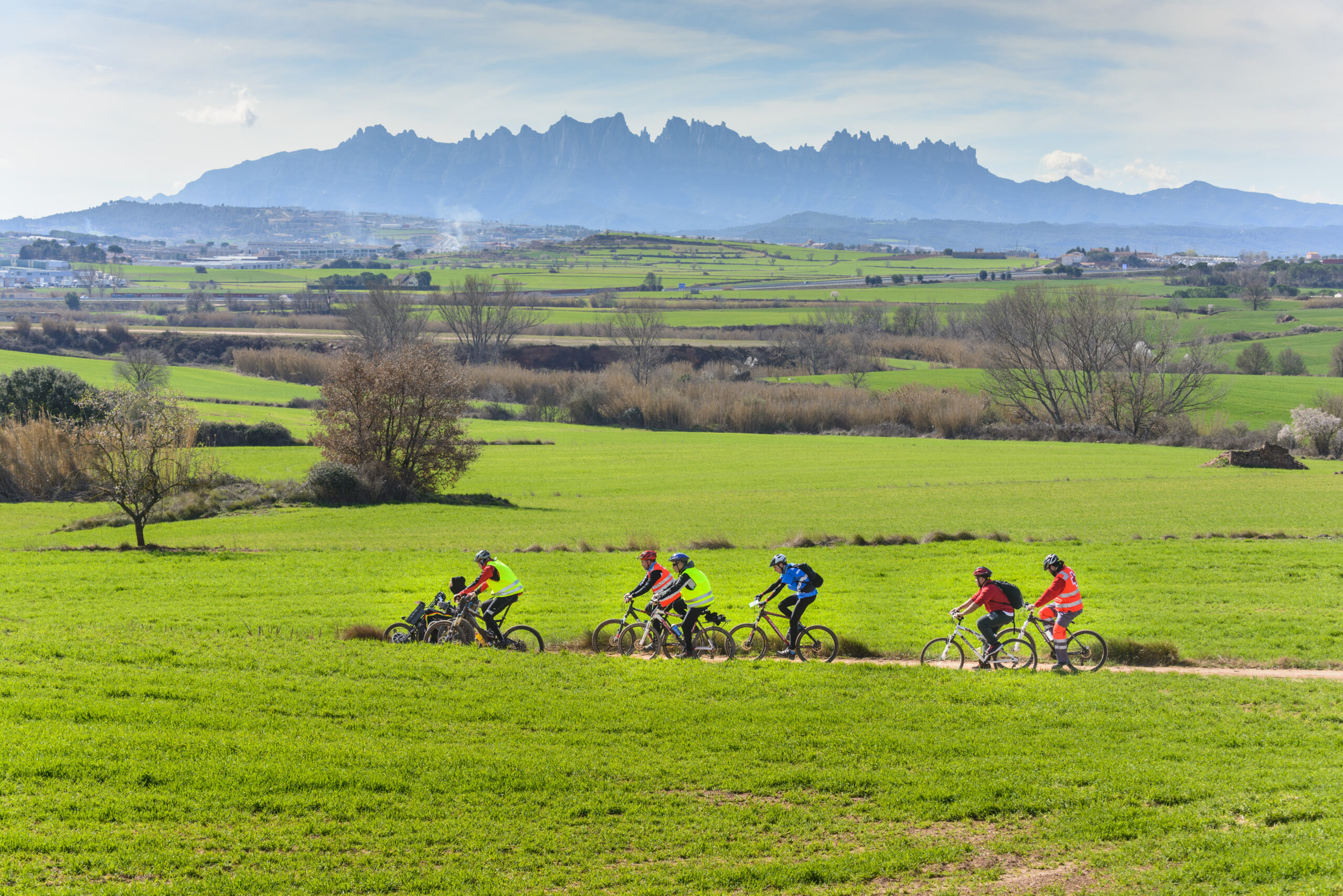
This average circular route in BBT that we offer, is one of the routes that are part of the itineraries around the Acequia.
La Acequia is one of the most important engineering works carried out in Catalonia during the Middle Ages. The water catchment is carried out in the Llobregat river under the balzo of the Balsareny castle. The canal crosses the municipalities of Balsareny, Sallent, Santpedor and Sant Fruitós de Bages and reaches the Parque de la Aguja de Manresa.
The Acequia Park is the institution that manages spaces and facilities linked to the Manresa Acequia: www.parcdelasequia.cat
La Acequia allows you to discover unique environments, temples, fortifications, hydraulic works, farmhouses, geological elements and natural spaces transformed by water that help to understand the roots of this inland territory.
This text was translated by an automatic translator