La riera de Rajadell (M2) (Anella Verda)
Difficulty: 2
Distance: 18,5 km
Elevation gain: 271
Elevation loss:
Starting point: Zona esportiva del Congost
Finishing point: Zona esportiva del Congost
Services:
Wikiloc: https://www.wikiloc.com/outdoor-trails/m2-riera-de-rajadell-anella-verda-manresa-22833765
Points of interest:
Parking / How to get there:
More information:
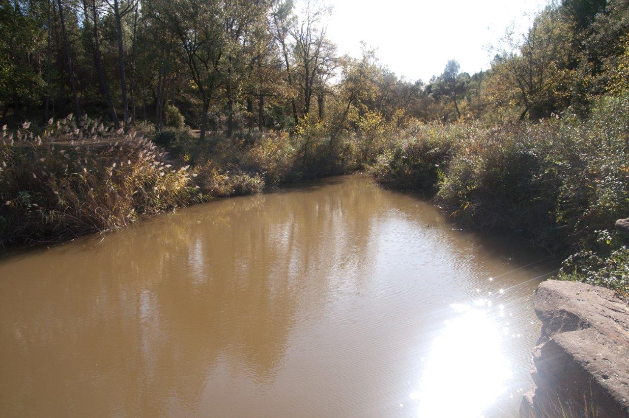
The Rajadell stream rises in the municipality of Sant Pere Sallavinera and opens from west to east forming a mostly wide valley. It runs through the municipality of Manresa until it empties into the Cardener, in the area of Can Poc Oli, after having covered part of the last kilometers in a narrow valley, where cliffs sculpted by an area of rich and interesting nature open; an extensive green lung that hosts a great diversity of plants and where many animal species find refuge.
This text was translated by an automatic translator