Els cingles del Llobregat (M5) (Anella Verda)
Difficulty: 2
Distance: 8 km
Elevation gain: 283
Elevation loss:
Starting point: Església de la Salut de Viladordis.
Finishing point: Església de la Salut de Viladordis.
Services:
Wikiloc: https://www.wikiloc.com/hiking-trails/m5-itinerari-els-cingles-del-llobregat-anella-verda-manresa-18039781
Points of interest:
Parking / How to get there:
More information:
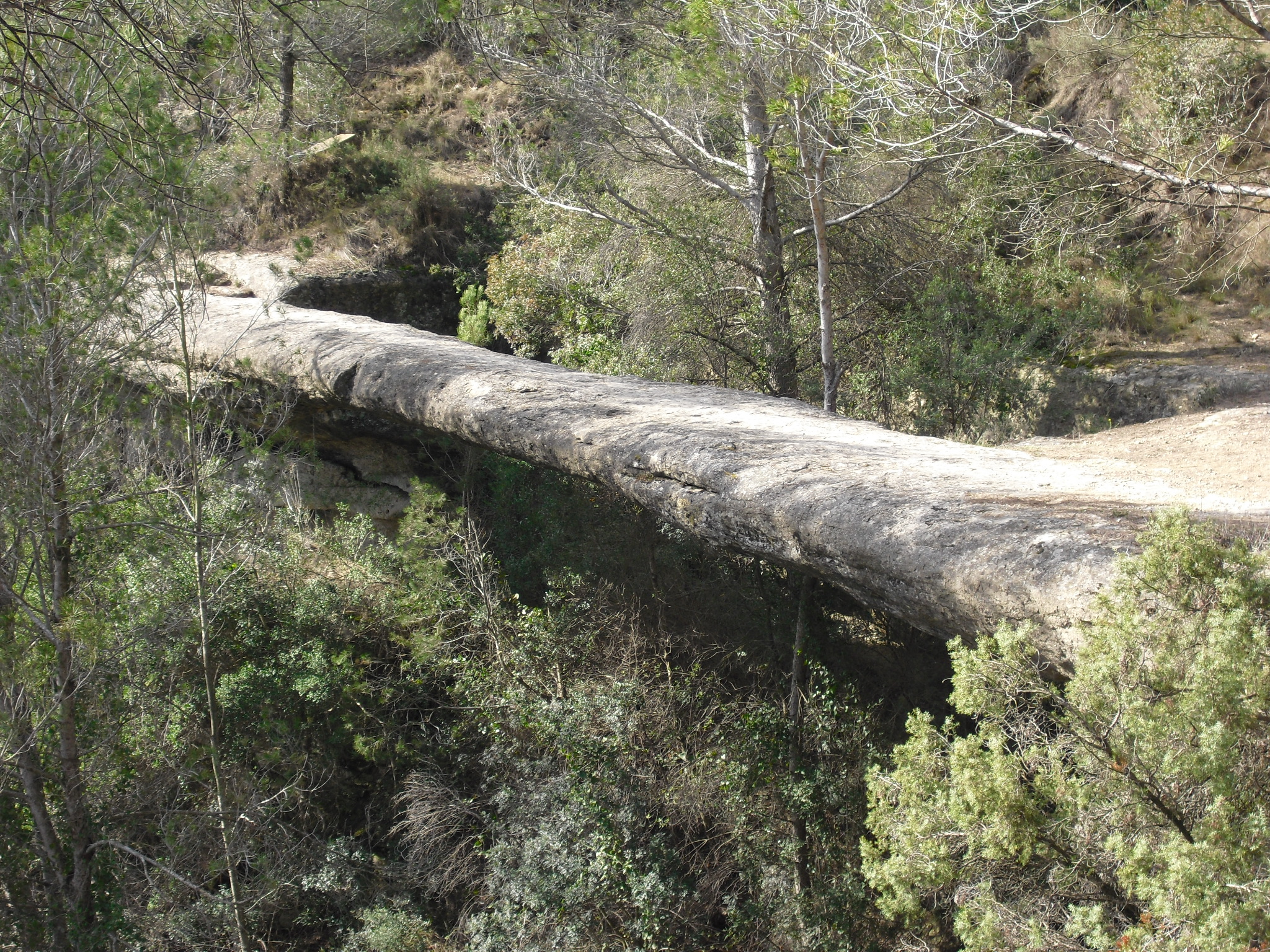
It is a route with great natural and scenic interest, which offers sensational views over the river Llobregat from the viewpoint of Punta Sabata and the cliff of Roca Tinyosa. Despite having a part of the route very close to the river, the presence of very aerial sections does not make it suitable for people with vertigo.
This text was translated by an automatic translator