El regadiu de Viladordis (M6)
Difficulty: 1
Distance: 9 km
Elevation gain: 115
Elevation loss:
Starting point: Escola la Font
Finishing point: Escola la Font
Services:
Wikiloc: https://ca.wikiloc.com/rutes-outdoor/m6-itinerari-del-regadiu-de-viladordis-anella-verda-21101516
Points of interest:
Parking / How to get there:
More information:
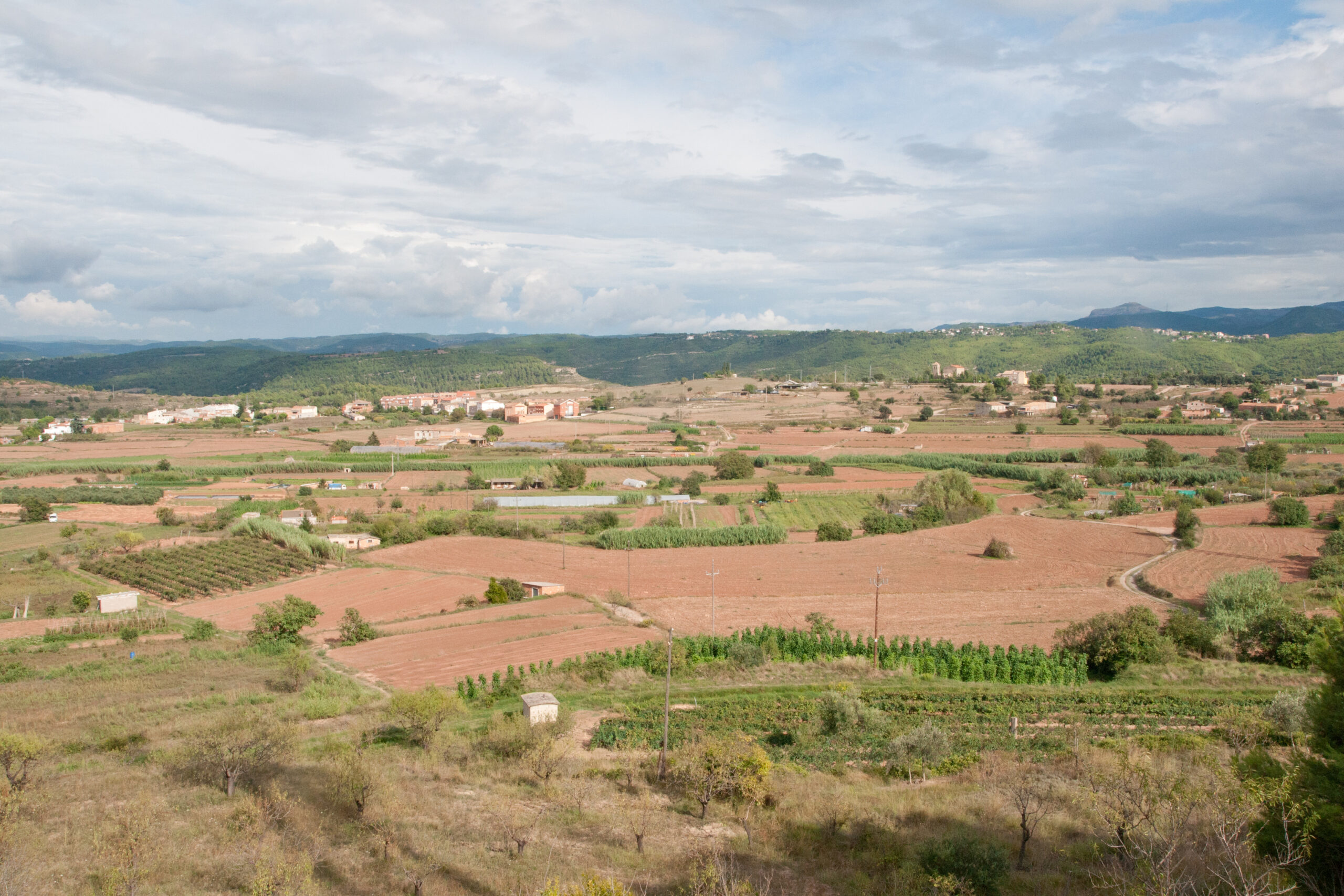
The route runs along Viladordis, one of the orchards caused by the arrival of water in Manresa through the Sèquia, in the 14th century.
Arriving at the Parc de l’Agulla, the canal is divided into two main branches, the Poal and the Viladordis, which supply water to these two historic irrigation canals.
This text was translated by an automatic translator.