El Cardener i el Puigberenguer (M8) (Anella Verda)
Difficulty: 1
Distance: 10 km
Elevation gain: 75
Elevation loss:
Starting point: Pont Vell Manresa
Finishing point: Pont Vell Manresa
Services:
Wikiloc: https://www.wikiloc.com/outdoor-trails/m8-itinerari-el-cardener-i-el-puigberenguer-anella-verda-manresa-21102070
Points of interest:
Parking / How to get there:
More information:
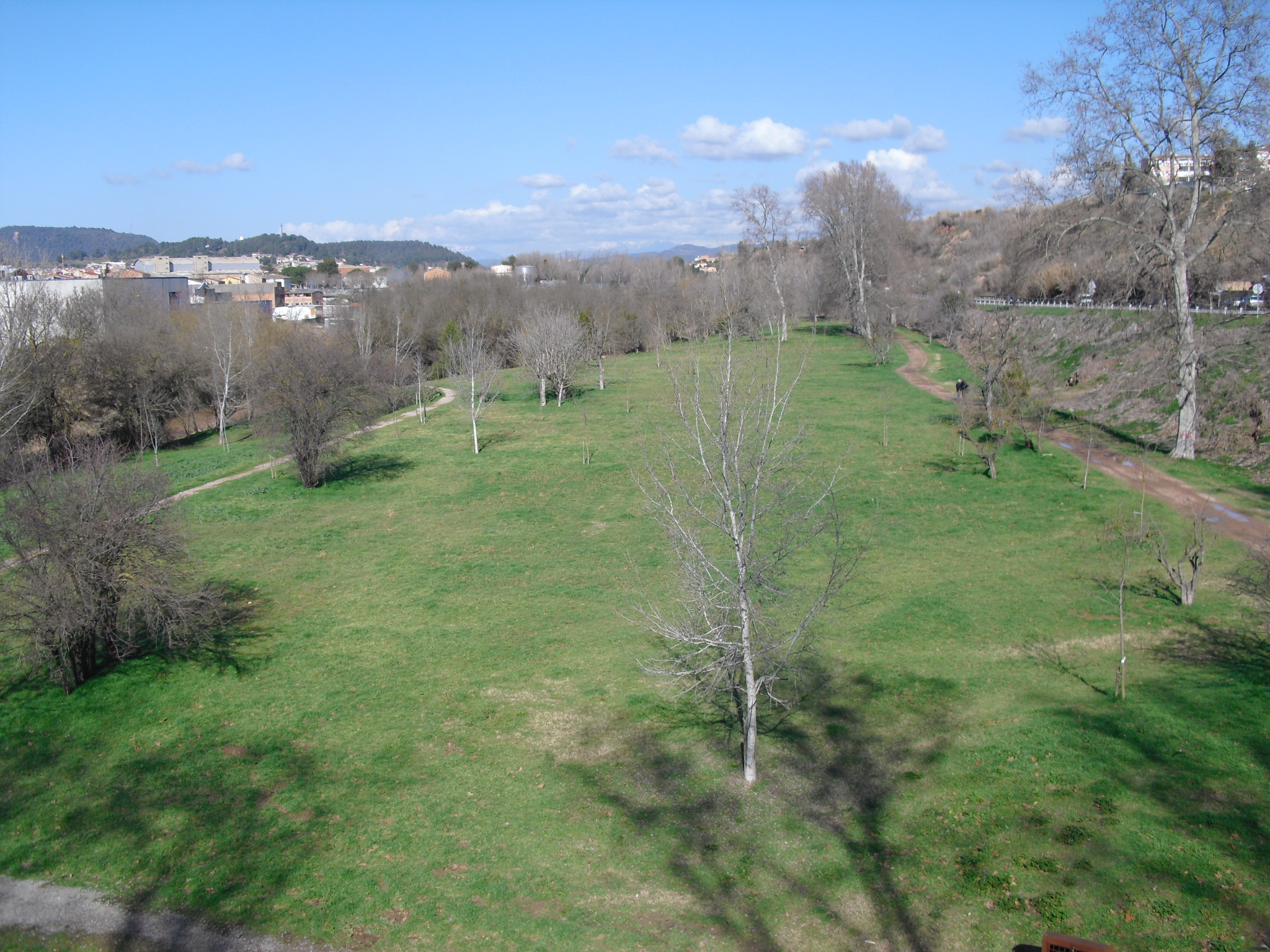
The route runs along the Cardener River in its most urban section. The route allows you to approach the river to enjoy its landscape and see some elements of its cultural heritage: factories, locks, bridges, …
It also shows stunning views of the city from the Puigberenguer and a walk through one of its historic irrigated areas: the Poal
This text was translated by an automatic translator