Del Cardener al Llobregat (M4) (Anella Verda)
Difficulty: 2
Distance: 14,72 km
Elevation gain: 287
Elevation loss:
Starting point: Pont Vell Manresa
Finishing point: Pont Vell Manresa
Services:
Wikiloc: https://ca.wikiloc.com/rutes-senderisme/m4-itinerari-del-cardener-al-llobregat-anella-verda-manresa-21020558
Points of interest:
Parking / How to get there:
More information:
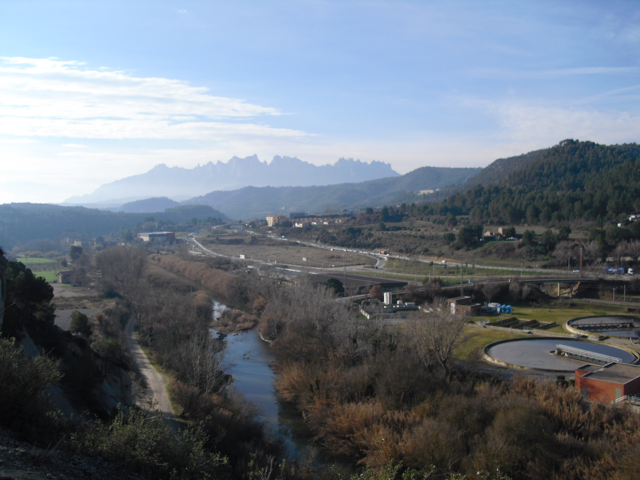
The route follows the left bank of the Cardener, and past the arid and fossiliferous rocks of Mal Balç, turns east to find the Llobregat basin, which borders the municipality of Manresa to the southeast. Although it does not always border the river, it offers us, from different places, a good perspective.
In the most urban part, it coincides with the Camino de Santiago, but moves away immediately when it reaches the Llobregat basin.
This text was translated by an automatic translator